


.png)


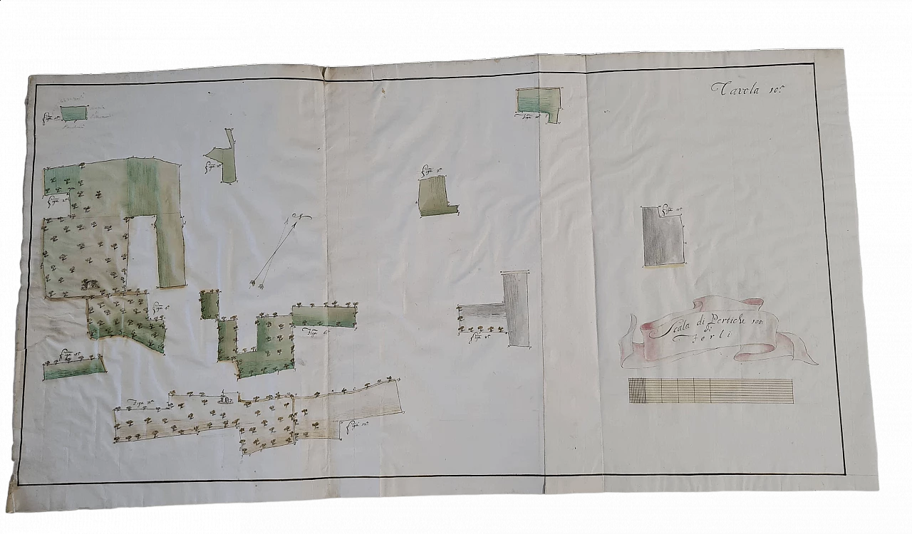
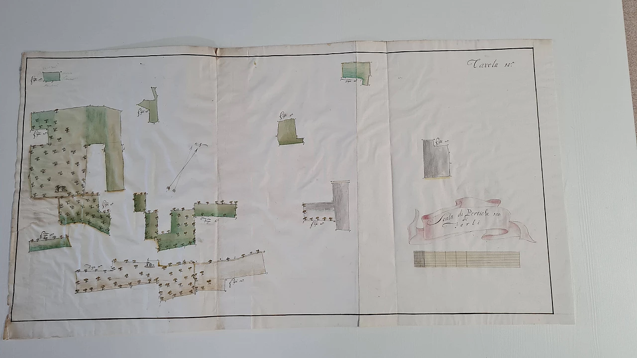
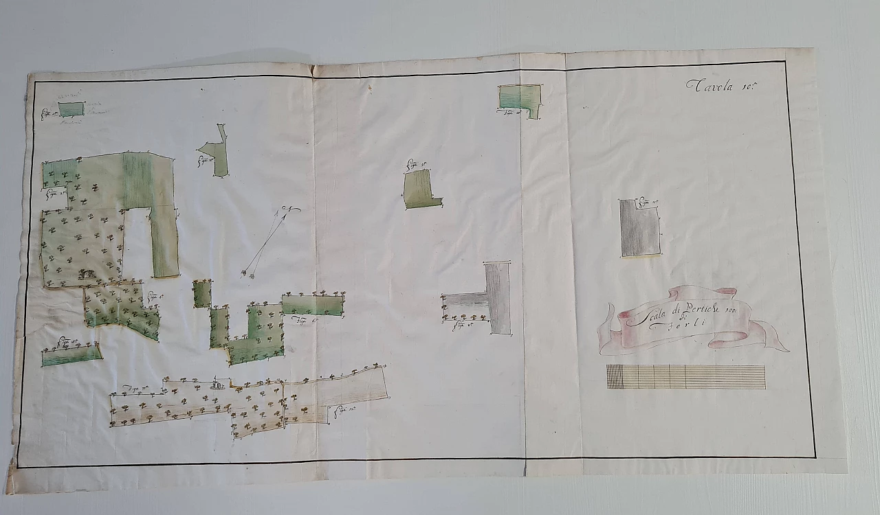
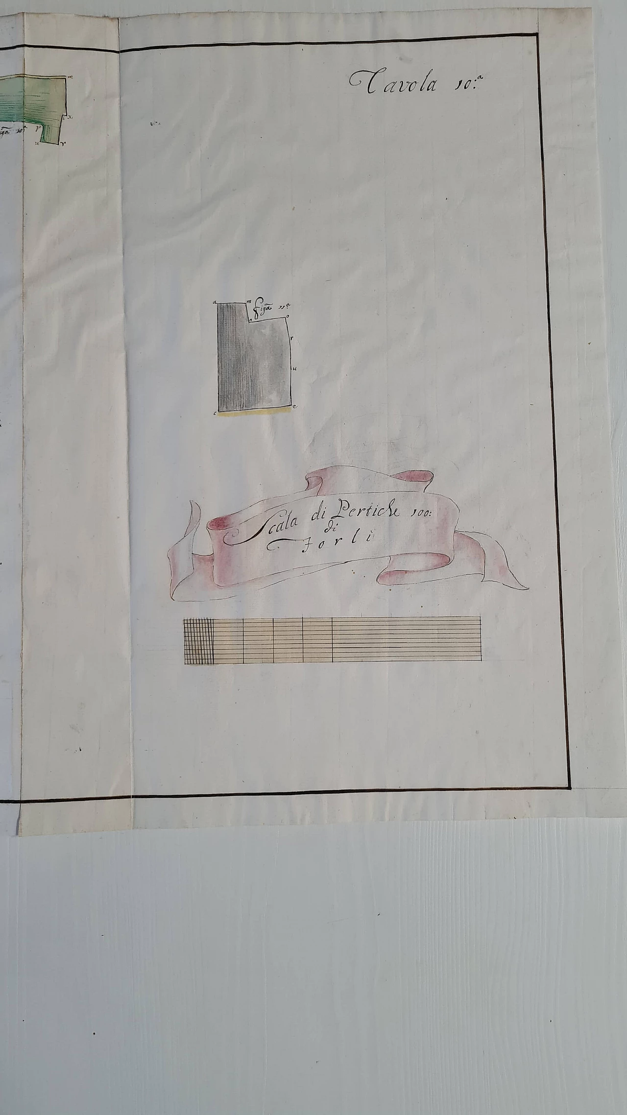
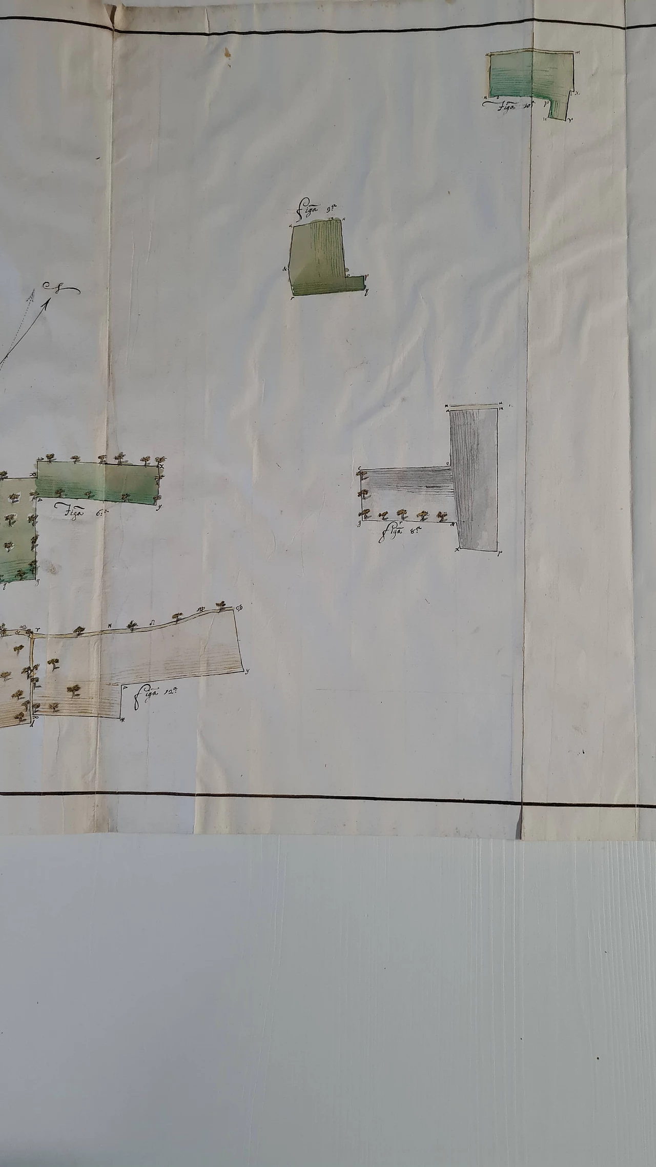
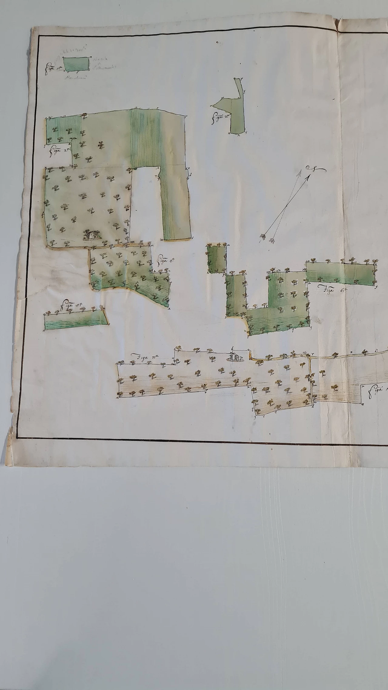
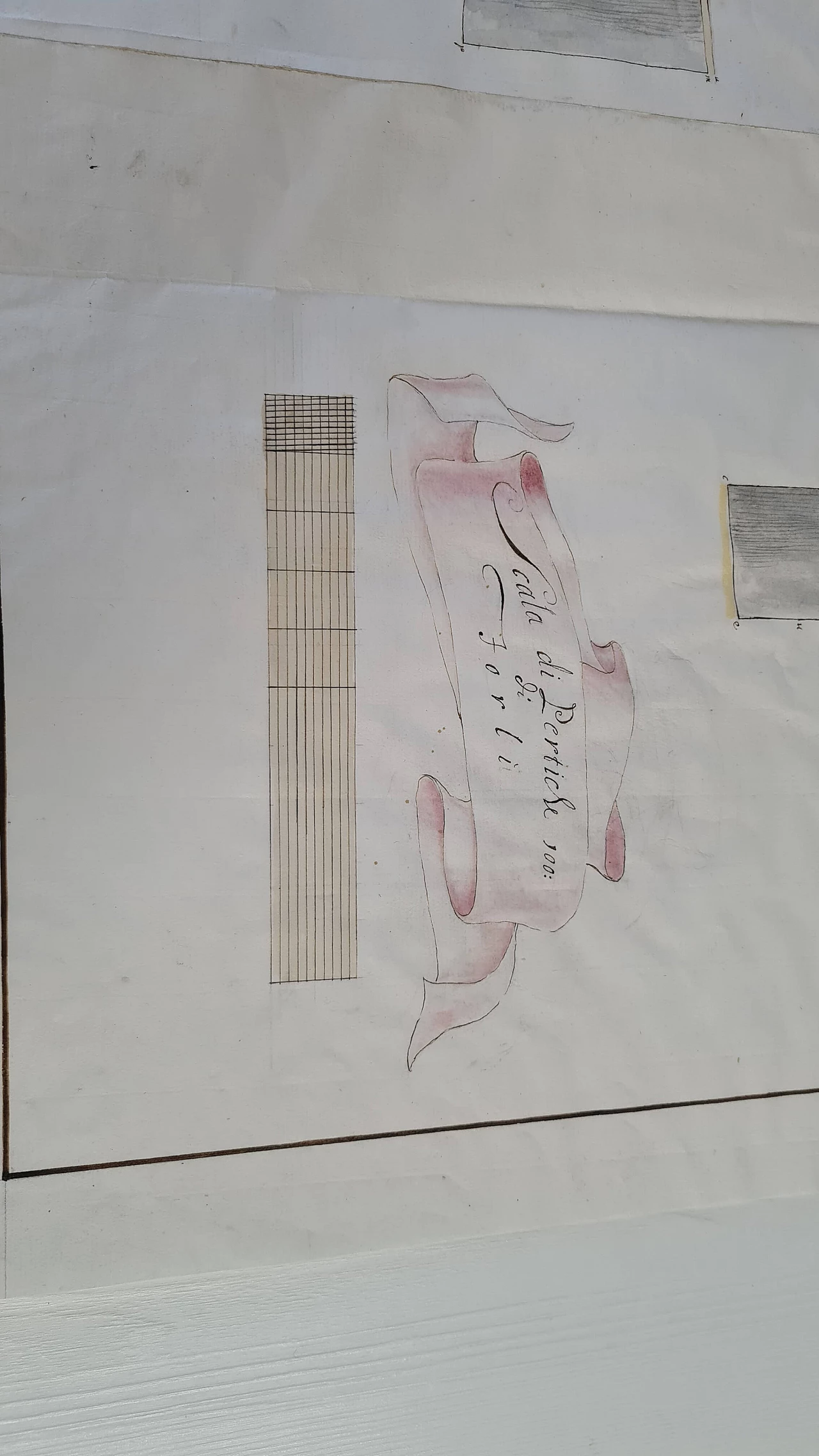
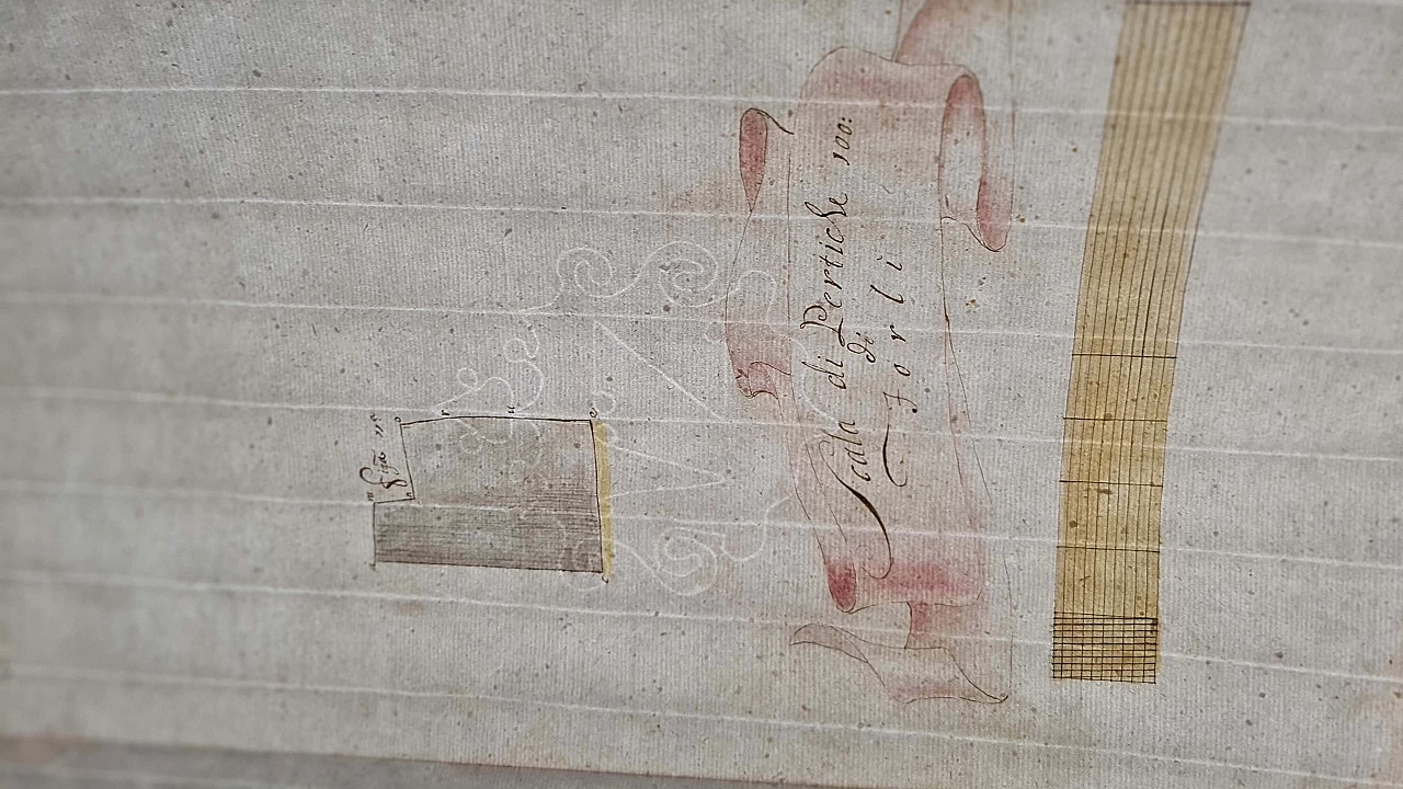
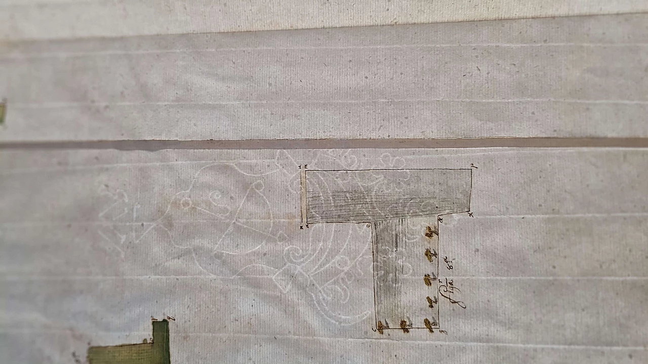
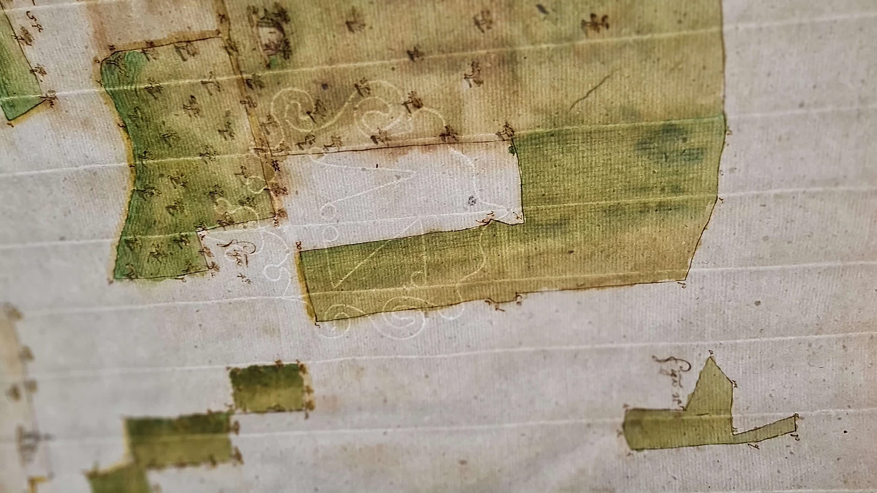
Cadastral map on laid and watermarked paper paper, second half of the 18th century
Item price
€ 250.00
Discount price
€ 200.00
Quantity
Shipping method
Quantity
 SILVER Seller in Verona, Italy